As one of the most widely-used mapping and navigation tools on the web, Google Maps has a wealth of features and tools that can help you explore the world around you. One of the most useful features of Google Maps is its ability to display the elevation of any point on the map, which can be useful for everything from planning a hike to determining the suitability of a site for construction or development.
How to Check for Elevation in Google Maps?
Here’s a step-by-step guide on how to check the elevation of a location in Google Maps.
The following steps mentioned below will help you check elevation in google maps, and they are:
- Open google maps on your desktop.
The first step to checking the elevation of a location in Google Maps is to open the application. You can do this by visiting the Google Maps website in your web browser, or by opening the app on your mobile device.
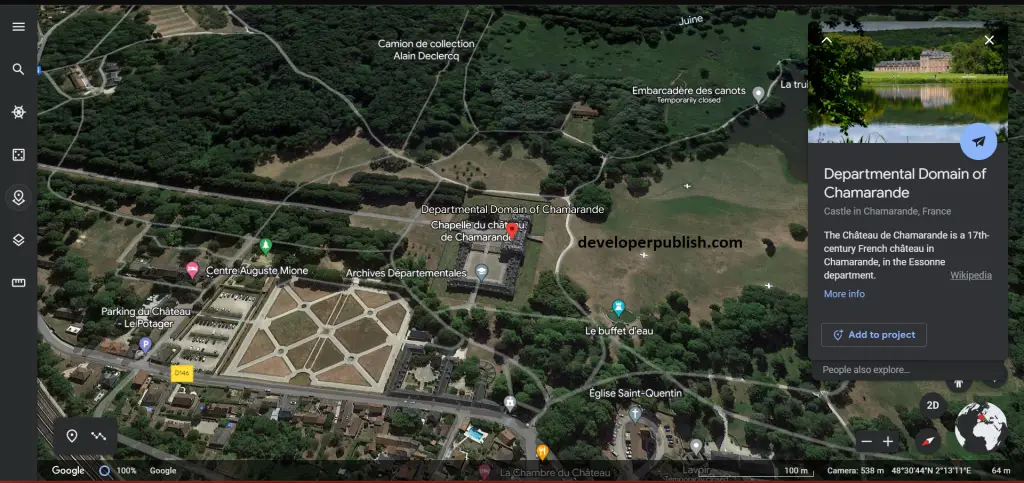
- Press on the Terrain option from map type menu.
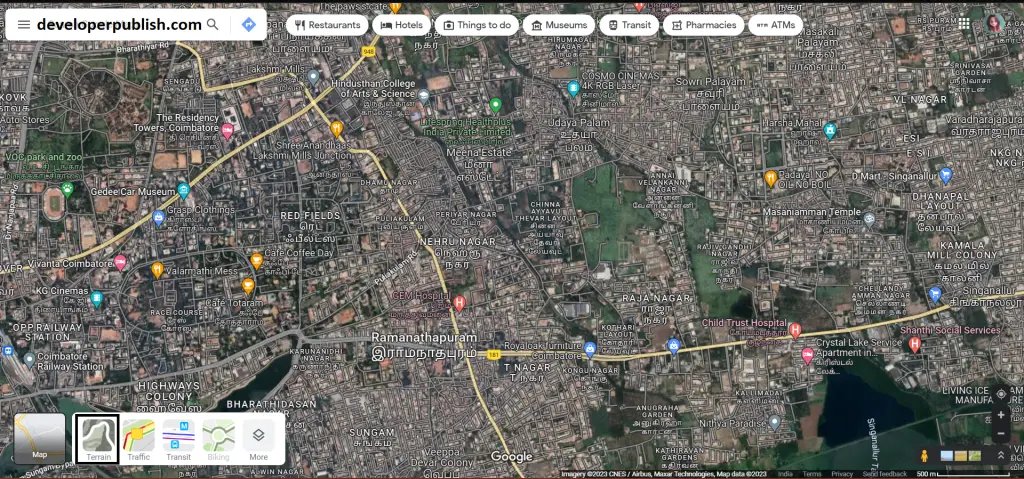
- By pressing on the terrain option, you can see the longitude and latitude.
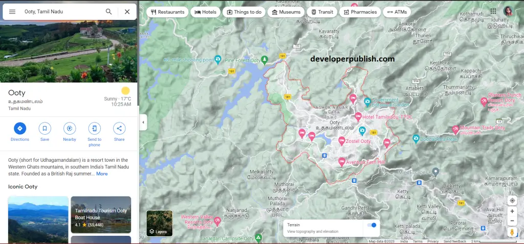
- For better elevation checking, you can use Google Earth.
- Click on the search button from the menu.
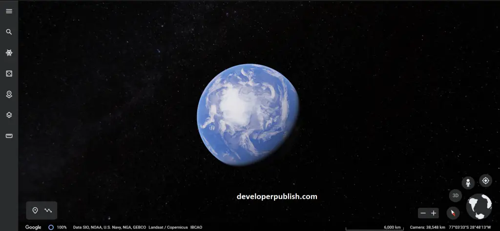
- You have options like 3D view, where see the searched place in 3D shapes.
- From the above-mentioned steps, you can check elevation in google maps.
Once you’ve found the elevation data for the location you’re interested in, you can use this information to explore the surrounding area and plan your activities accordingly. For example, if you’re planning a hike, you can use the elevation data to determine the difficulty of the route and identify any particularly steep or challenging sections.
Similarly, if you’re planning a construction or development project, you can use the elevation data to determine whether the site is suitable for your needs and to identify any potential obstacles or challenges.
Conclusion
In conclusion, checking the elevation of a location in Google Maps is a simple and straightforward process that can provide you with a wealth of useful information. Whether you’re planning a hike, a construction project, or just exploring the world around you, the elevation data provided by Google Maps can help you make informed decisions and navigate with confidence.